Day 1 – Arequipa to the Oasis
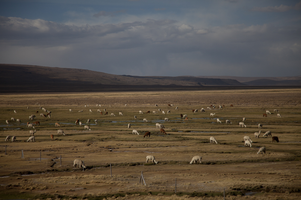
Last Tuesday morning, we took the 8:30 am bus from Arequipa to Cabanaconde where we would begin our hike into the Colca Canyon. The 5.5 hr trip went quickly as we sat back and enjoyed the scenery. We passed mountains and valleys dotted with herds of cattle, sheep, alpacas,and llamas. The valley, and parts of the canyon are habitable, and Inca and pre-Inca terraces are still cultivated along the less precipitous canyon walls.


We arrived without incident in the dusty, sleepy little town of Cabanaconde (3,287 m) and promptly headed to the hostel we were planning to stay in at the end of the hike. We talked to the owner and a few other hikers to get more information about our hike and to confirm there was sufficient time to make it to the bottom of the canyon that afternoon – supposedly a 2 hr hike – where we would overnight in what was called the “Oasis” (2160m).
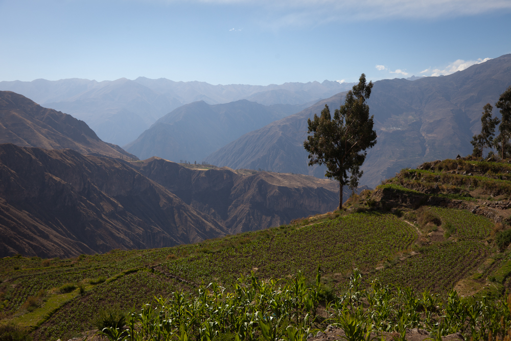
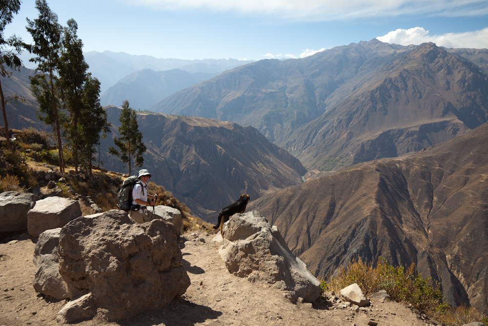
 We began our descent at about 3:00 pm with very simple directions: take the road across from the church, follow it out of town and stay on it to the bottom. Before we even left town, a friendly German Shepherd dog joined us and accompanied us all the way down to the bottom. As we left town, we enjoyed the beautiful scenery of fertile, cultivated terraces. The rocky path followed a gentle slope that lulled us into thinking this was going to be a piece of cake.


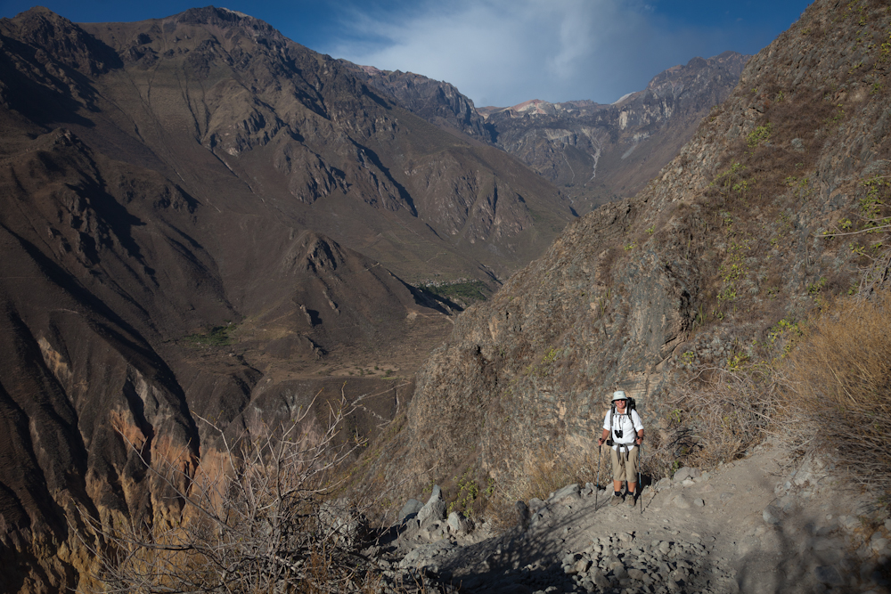
And then we came to the edge of the canyon and got our first real look at the trek ahead. It was a long way down, and it was very, very steep. In fact, we couldn’t even see the bottom. To make matters worse, the trail was comprised mainly of loose rocks the size of our fist, mixed with gravel and larger rocks we had to navigate around. This wasn’t going to be easy.


As Chris took his time taking pictures along the way, I hiked on ahead. After a couple of hours, it was clear we still had a long way to go and I was getting concerned about losing daylight. Finally we could see a tiny patch of green called the Oasis – it was just a dot way down below. As we inched our way closer going back and forth along the steep switchbacks, we could see the “resorts” and their swimming pools. Oh, how we wanted to get to the bottom!

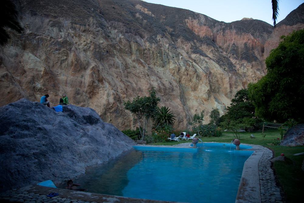
After more than three gruelling hours, we reached the Oasis with burning leg muscles and only a half hour of daylight to spare. Once at the bottom, we picked the hostel we had been oogling through our binoculars for the last hour of our descent, the one with the pool that had a huge rock face protruding from one side.

We arranged for our room (10 soles each = $3.75 CAN each), took a quick shower in the very primitive bathroom and then dove into the pool. It was so refreshing, but with the sun fading, the outside temperatue was also dropping fast.


After a quick swim, we washed our clothes and joined the other hikers for a communal dinner. There were three tour groups staying for the night and a young couple who were hiking independently like us. Dinner consisted of a potato based soup, followed by a huge plate of spaghetti noodles topped with a tomato and onion sauce. We were hungry and it all tasted delicious. Dinner cost 10 soles each, a large beer cost 10 soles, 2 cokes cost 10 soles – this was beginning to look like a pattern. How much? Oh, what a surprise, it costs 10 soles.
Our mud and bamboo hut offered very basic accommodations – a bed on a concrete floor. No lights. No electricity. We fell asleep at 8:30 pm and slept like babies all night.


Day 2 – The Oasis to San Jan
In the morning, Chris mentioned he experienced vertigo for the first time in his life on the descent and it scared the crap out of him. He was terrified he was going to slip and fall over the side of the cliff. Out of nowhere, he had developed a fear of heights! Even more surprisingly, I felt no fear whatsoever – it was as if my fear of heights had transferred to Chris. I asked him if maybe he was getting sick, a cold perhaps that could be causing some inner ear issues and thus putting him off balance. He said he felt fine except for the vertigo.
Chris was reluctant to continue the trek, but that would mean going back up the way we had come down the previous day, something I did not want to do. We discussed the options and finally agreed to continue the hike as planned, but to bypass the more remote town of Tapay; this would cut the day’s trek in half to about 3-4 hours. After a very basic breakfast – one fried egg and two dry buns – we headed out at 8:30 am. The most difficult part of this day’s hike would be the ascent on the other side of the river. Our legs were already sore from the previous day, but at least we would wear out different muscles as we ascended. Chris was still grumbling about falling off the side of the mountain so we took it nice and slow and headed down towards the river where we crossed a suspension bridge.
 On our way down, we passed one of many aqueducts. I was impressed with the ingenuity of the creators of these water systems that diverted water from higher sources such as waterfalls down towards the canyon valley, providing irrigation for the towns and agricultural terraces. It seemed pretty clever to me and I suspected these waterways have been around for a very long time. As a result, the valley was so lush and tropical in stark contrast to the arid, desert like mountains above.
 It was a relatively easy hike down to the river. Chris was still taking pictures so I took that as a good sign – at least he could distract himself. I think he had resigned himself to his ultimate fate – which of course in his mind was his demise in this remote canyon.
 I wasn’t quite sure how to deal with Chris as I had never seen him act this way. I understand the power of irrational fear, but I also know how to manage my own anxiety so as not to inflict it on everybody else. But I guess I’ve had years to practice this skill, and Chris was hit with a level of anxiety and irrational fear that he had never experienced before. And so he let me know how terrified he was – often.

To be honest, Chris’ fretting was starting to get on my nerves, so once we crossed the river and began our ascent, I hiked a little faster to create some distance. I knew he would be fine, as there was no real danger. These paths had been servicing humans and mules for hundreds of years and I think it was pretty unlikely we were going to fall off the side of the mountain. But there is no point trying to talk reason to someone in the grips of an anxiety and panic attack. Sometimes it’s just better to stay quiet….and to walk ahead. I should add a side note here. After the hike, Chris did some research and apparently people have died falling off the side of cliffs in this canyon and some people have just gone missing. I’m glad we didn’t have that information beforehand.
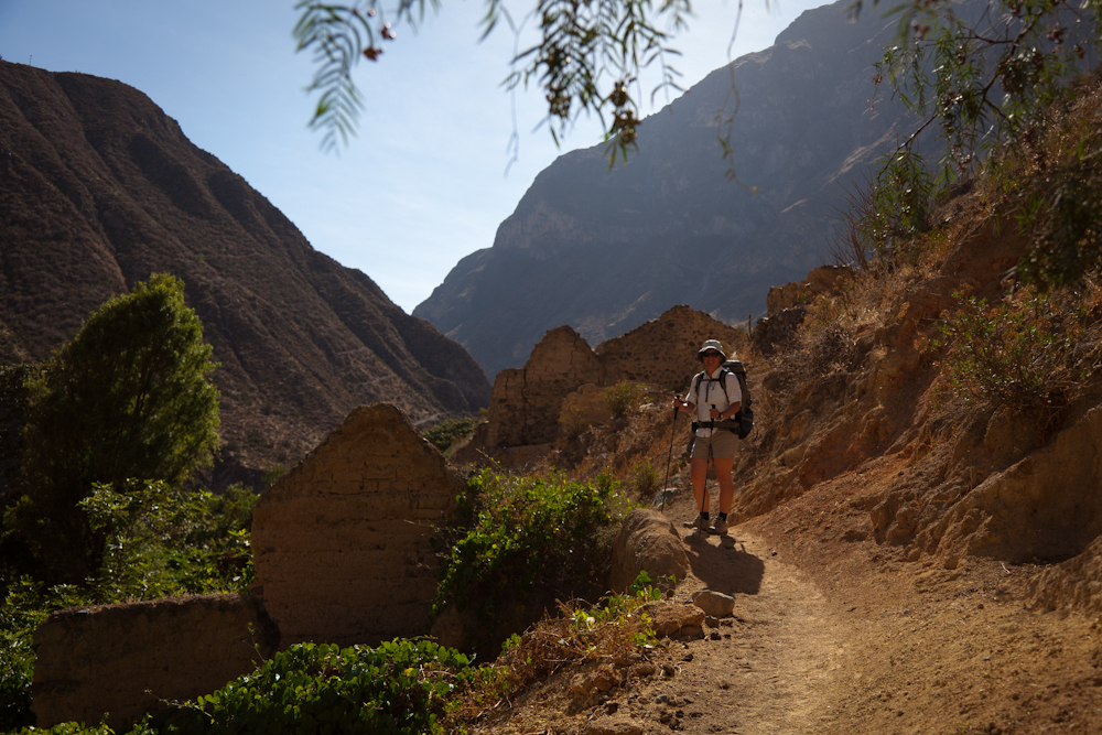
 Once we finished the ascent on the other side, the path flattened out and hugged the side of the mountain – vertical rock face to the left, and to the right, a sheer drop off to the canyon far below. The path was about 3-4 feet wide in most places. Whenever I looked back, I saw Chris hugging the inside rock face, often hanging on with his hands like his life depended on it. I found this part of the trail to be the easiest and offered spectacular views that you could at least enjoy. We had perfect weather each day, sunny and clear. In the valley it was very hot, but as we gained altitude, the temperatures were more moderate, around 20C would be my guess. Still, the sun was intense and there was little shelter from it along the trail so during the mid-day, it was quite brutal. At night the temperatures dipped, probably to about 10C – perfect sleeping weather.
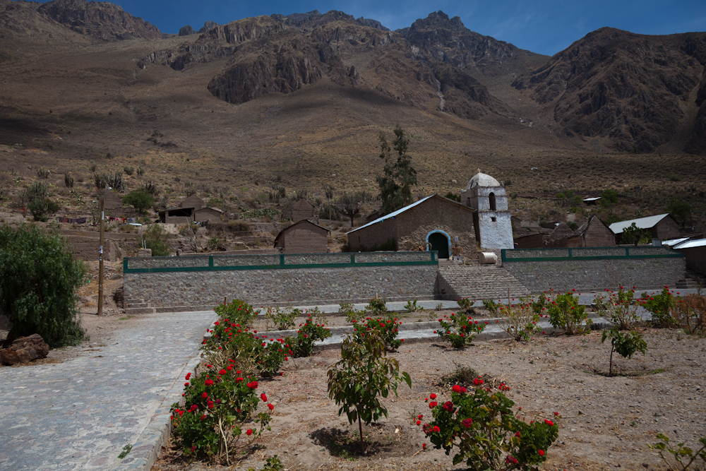
 We passed through two very primitive villages that were eerily quiet and still with only a few people in sight. Where was everybody? Many buildings laid in complete ruin, while others looked like ruins but were inhabited as evidenced by the electricity running to them; one even had a satellite dish. And of course, each town had its own modest church.


At this point, we could see the north side of the canyon where we would be ascending the next day. Chris had been fretting about this ascent since we woke up, and now that he saw the vertical rock face, he was close to hysteria. I have to admit, the rock face did look daunting.
 “Mount Doom”
The final leg of this day’s trek required a very steep descent to cross another river followed by an easy hike to San Juan. Chris inched his way down the mountain side at a painstakingly slow pace. Here’s a photo that I took the following day when we were climbing on the other side. It shows the zig zag line of the descent and I think it gives a pretty good idea of how steep this part of the trail was.


When we arrived at San Juan, we picked our hostel, Posada Gloria, based on a random recommendation made by an old man we passed in the last town. Gloria’s place looked as nice as any, so we figured why not. We had lunch – alpaca mixed with tomatoes and onions, with rice and french fries. This was our second time eating alpaca and this time it tasted a little gamey. But we were hungry so we polished off our plates without complaint.

After lunch, Chris sat in a patio chair and stared at the imposing rock face on the other side. I asked him if he was going to just sit there all afternoon and fret, and sure enough, that is what he was planning to do.
I tried my best to distract Chris that afternoon but he was pretty focused on the cliff that was staring him in the face. I had never seen Chris like this and I was now starting to worry about him. What if he became a self-fulfilling prophecy and actually did fall off the rock face? I decided not to share with him a technique I often use to manage my own anxiety which is to consider the worse possible outcome and to get comfortable with it. I didn’t think it would be very helpful for him to imagine himself slipping and hurling down the side of the cliff, landing in a crumpled ball, dead. Nope, that wouldn’t be helpful. So I continued my strategy of distraction although I was running out of ideas in this remote little mountain village that was comprised of nothing more than a few humble dwellings.
 Rooms with a view – a view of “Mount Doom” that is!
At 7:00 we ate dinner – a delicious vegetable curry with rice. The lady in this hostel, Gloria, really knew how to cook. By now it was pitch dark and the sky was illuminated with myriads of bright stars. It was really beautiful. We went to bed early in our very primitive accommodations – check out our stone floor; I again slept like a baby throughout the night but Chris was up half the night – he just couldn’t get a grip.
 A stone floor – didn’t have to worry about getting it dirty!
 The bathroom and shower facilities were super clean and the water was hot.
What more could you ask for?
Day 3 – San Juan to Cabanaconde
As I sat across from bleary-eyed Chris over breakfast, listening to his incessant rant about how terrified he was about the day’s ascent, it dawned on me that this could turn out badly because Chris was so wound up. I suggested we hire a mule to carry Chris’ pack. He resisted the mule idea – the male ego was still intact in spite of the anxiety – only to concede when I pointed out that we would be contributing to the local economy.
Gloria, the hostel owner, found us a mule – it would cost 60 soles to carry Chris’ pack, and another 10 soles to carry mine. For 10 Soles (about $3.75 CAN), I figured I should also do my part to support the local economy and to help protect my husband’s wounded ego. The mule turned out to be the best decision I have made on this trip thus far, something that Chris kept muttering all the way to the top – thank God for the mule, thank God for the mule.
 We set out with our mule, Peter, and our mule owner, Jorge. After dealing with Chris’ meltdown for the past 24 hours, I wanted to get of the canyon just as much as he did. While I was a little testy at the beginning of the hike, at a certain point I decided I would do whatever I could to support him up the mountain which basically meant keeping two feet in front of him and offering words of encouragement and promises that we were almost at the top (don’t forget he wasn’t looking anywhere but at his feet, so he had no idea how far we had to go.)


It was a pretty tough hike for most of the way although the path did flatten out for stretches at a time offering the chance to take in the spectacular scenery. From this vantage point, we could see where we had hiked the day before – the towns were little dots on the other side of the canyon, and the paths looked like pencil lines etched into the side of the mountain. I kept wanting to stop and take it all in, and to take pictures but Chris freaked out every time I stopped – he was practically in a trance just concentrating on my feet ahead of him, not daring to glance down.
 The rocky path out of the canyon.
 A view of the two towns we hiked the previous day.
 Previous day’s path into and out of the Oasis.
Finally, we reached the top and Chris literally kissed the ground with utter relief. We still had a few kilometres to walk into town, but the worse was behind us. Chris has vowed he will never, ever do a hike like this again. And I believe him.
One final note: We returned to Arequipa that same day and by evening, Chris was suffering from a head cold. I wonder if his vertigo was at least caused in part by some congestion or inner ear inflammation.
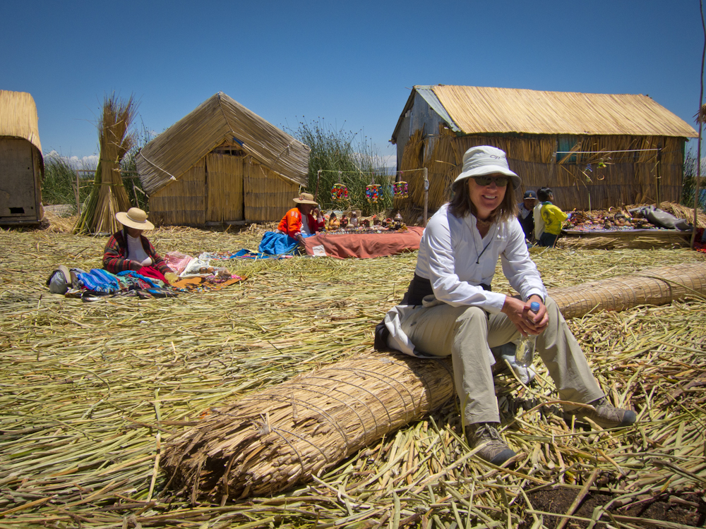
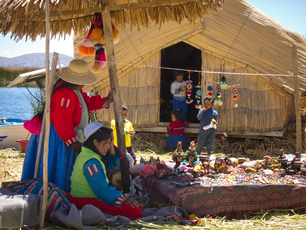
 Puno, Peru is situated on the shores of Lake Titicaca, which sits 3,811 m (12,500 ft) above sea level, making it the highest commercially navigable lake in the world. It also happens to be the largest lake by volume of water in South America. Lake Titicaca is most noted for its unique islands. Uros is comprised of a group of about 44 artificial islands made of floating reeds. Amantani and Taquile are a couple of other islands renowned for their culture and history. There are several islands on the Bolivia side of Lake Titicaca, Isla del Sol and Isla de la Luna which are equally interesting.
 Our first impression of Puno was that it was a small city like any other in Peru; nothing really distinguished it as special or different. Our hostel provided basic, comfortable accommodations, but again, nothing out of the ordinary. We did notice that there were many indigenous women dressed in their traditional costume – long, pleated skirts, shawls and a bowler hat perched on the top of their heads – I wondered how these stayed on, especially on a windy day! All the indigenous women had long thick braids down their back, and many had lovely pom pom accessories attached to the bottom of their braids.





 Print Friendly